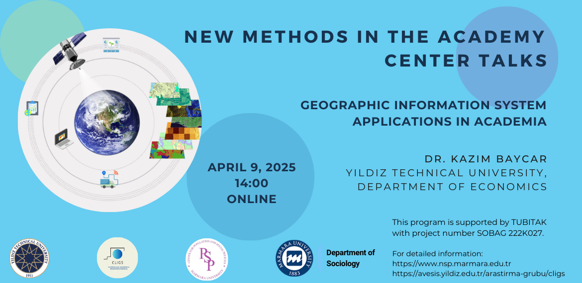
Geographic Information System Applications in Academia
Dr. Kazım Baycar - Yıldız Technical University, Department of Economics
Date: April 9, 2025
Time: 14:00
Location: ZOOM
Event Link: https://online.yildiz.edu.tr/joinmeeting?meetingid=676a9288-ad4b-4053-bf8c-ab14a5a434d4
Abstract
The geographic information system (GIS) is a set of hardware, software, personnel, geographic data, and methods that enable the collection, storage, processing, management, spatial analysis, querying and presentation of large volumes of geographic data. Geographical information systems are used in both public and private sectors for many purposes such as analyzing a region with its specific characteristics, planning, developing services, and controlling the works. In addition, it provides resources for academic studies from different disciplines.
This page updated by Nüfus ve Sosyal Politikalar Uygulama ve Araştırma Merkezi on 09.04.2025 10:18:48
